The Upper East Region districts and their capitals in Ghana
To ensure governance effectiveness, Ghana was divided into 16 administrative regions with their capital cities and districts under President Akufo-Addo's administration. There are Eastern Region, Western Region, and Upper East Region of Ghana. Although rich agriculturally, the Upper East Region districts are considered some of the country's smallest municipalities.

Source: Twitter
The Upper East Region is situated in the Kingdom of Dagbon with its regional capital known as Bolgatanga. It shares boundaries with Togo to the East and Burkina Faso to the North. Among notable Upper East Region towns are Zebilla, Bawku, Paga, and Navrongo.
As for the ethnic groups and tribes in the Upper East Region of Ghana, there are seven major ethnic groups and more than eight languages. Some of the dominant dialects include Nankani, Bisah, Kusal, Ndam, Kassem, and Gurune. Additionally, Talensi-Tongo, Gurune (fra fra)-Bolgatanga, and Nadams-Nangodi are part of its ethnic groups.
Names of district in Upper East Region
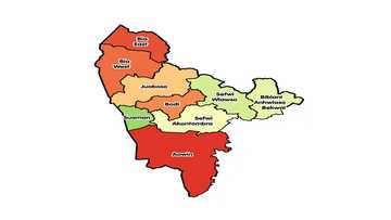
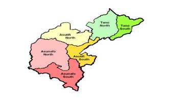
For most people who want to know more about the Region, one of the questions they often ask is, "How many districts are in the Upper East Region?" There are 15 of them, and each of them has its administrative capital. The following is a list of the region's districts and what you should know about each of them.
1. Bawku Municipal - Bawku
The municipality was established by Legislative Instrument (L.I) 2103. It has about 1215 05 square kilometres of land area, and its administrative capital is Bawku. Also, it shares boundaries with Bawku West district, the Republic of Togo, Burkina Faso, and Garu community to the North, East, West and the South respectively.
The municipality's dominant occupation is agriculture, and crops like groundnuts, sorghum, maize, millet, rice, onion, and pepper are majorly grown there. The dwellers also keep livestock, including sheep, cattle, donkeys, and goats.
2. Bawku West district - Zebilla
Located in the North-Eastern section of the Upper East Region, the municipality shares borders with the Republic of Burkina Faso to the West by Talensi district. It also shares boundaries to the East by the Binduri district and the South by East Mamprusi community. The district's administrative capital is Zebilla.
White Volta and the Red Volta are two significant tributaries of the Volta River that run through the municipality. Crops like millet, onion, and tomato are widely grown there.
3. Binduri district - Binduri

Source: Twitter
The district was carved out from Bawku municipal and stood alone in 2012. Its administrative capital is Binduri, and it shares boundaries with Garu-Tempane to the South and East, Bawku municipal to the North, and Bawku West district to the West.
Agricultural produces like shea butter, onion, tomato, watermelon, and soya bean are majorly grown in the community.
4. Bolgatanga East district - Zuarungu
The municipality was carved out from the Bolgatanga community, and it was inaugurated on the 15th of March, 2018. Its administrative capital is Zuarungu, and endowments like cashew, rubber, and Gold are peculiar.
5. Bolgatanga municipality - Bolgatanga
Being the largest urban centre in the region, the Bolgatanga municipality's administrative capital is Bolgatanga. It shares boundaries with Nabdam district to the East, Bongo community to the North, Kassena Nankana East district to the West, and Talensi community to the South. Shea butter, rice, stones, and tomatoes are some of the endowments found there.
6. Bongo district - Bongo
The administrative capital is Bongo. It shares boundaries with Bolgatanga community to the South West, Burkina Faso to the North, Nabdam district to the South East, and Kassena-Nankana East community to the West. ENABLE Youth 1D1F and Bongo (shea) are two of the factories located in the community.
7. Builsa North district - Sandema
The community is located in the North-Eastern section of the region and has its administrative capital as Sandema. It shares boundaries with Kessena Nankana East community to the West, Kessena Nankana West community to the North and Builsa South community to the South. The community is blessed with millet, shea butter, maize, and gold, among others.
8. Builsa South district - Fumbisi

Source: Twitter
The Builsa South district was carved out of the then Builsa community and created on the 7th of June, 2012. It is one of the four districts created in the region in 2012, and its administrative capital is Fumbisi. Rice, groundnut, millet, maize, and clay can be found in the municipality.
9. Garu-Tempane municipality - Garu
Garu-Tempane is located in the South-Eastern corner of the region, and its administrative capital is Garu. It covers 1,230 square kilometres of land, and it shares boundaries with Bunkpurugu-Yunyoo community to South East, Pusiga community to North East, and Binduri to the North West.
Also, East Mamprusi community is to the South West, the Republic of Togo is to the East, and Bawku West community is to the West.
10. Kassena Nankana municipality - Navrongo
With administrative capital known to be Navrongo, Kassena/Nankana municipality lies within the Guinea Savannah woodlands. Builsa South district to the West, Bolgatanga community to the East and Burkina Faso to the North are part of the areas the community shares boundaries with.
11. Kassena Nankana West district - Paga
President J. A Kufuor created this community with its administrative capital, Paga, and it was inaugurated on the 29th of February, 2008. The community shares boundaries with Builsa community to the South, Burkina Faso to the North, Kassena-Nankana East community to the East and Sissala East community to the West.
12. Nabdam district - Nangodi
Nabdam District became an Assembly by Legislative Instrument (L.I. 2105) in 2012. It was carved out from Talensi-Nabdam and now has its administrative capital as Nangodi. Bawku West to the East, mother District Talensi to the South, Bongo community to the North, and Bolgatanga community to the West are the areas the community shares boundaries with.
The community is also endowed with sorghum, guinea fowl, clay, millet, maize, and tomato, among other things.
13. Pusiga district - Pusiga
Source: Twitter
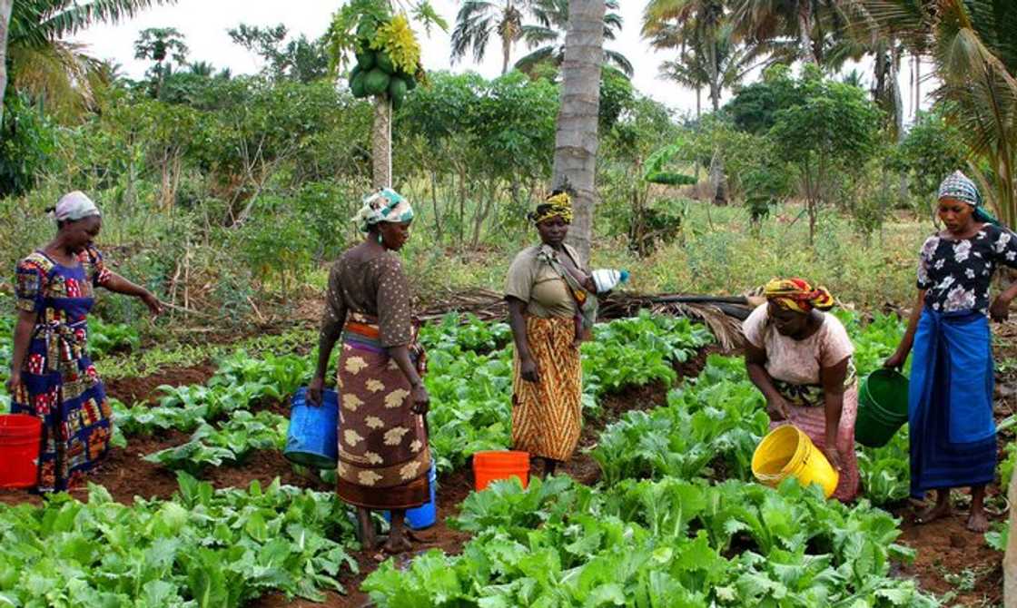
Pusiga was carved from Bawku community through an Executive Instrument (E.I) by President H.E. J.E.A Mills. Its administrative capital is Pusiga, and it shares boundaries with the Republic of Togo to the East, Burkina Faso to the North, and Bawku municipal to the South.
Cotton, soya bean, onion, tomato, pepper, maize, sweet potato, and fish are some of the things the community is endowed with.
14. Talensi district - Tongo
Formerly known as Talensi-Nabdam district, Talensi municipality is one of the notable districts in the Upper East Region. Areas that the community shares boundaries with include West Mamprusi community to the South West, East Mamprusi district to the South East, Bolgatanga community to the West, and Bawku West to the East.
The administrative capital is Tongo, and it is blessed with gold, tomato, rice, shea butter, millet, African Locust Bean (Dawadawa/Sumbala), and honey, among other precious things.
15. Tempane - Tempane
The Tempane community is part of the 38 district assemblies created and upgraded in 2018. It was carved out of the Bolgatanga municipal assembly, and it has Tempane as its administrative capital. The community is endowed with shea butter, coconut, cashew, and timber.
The Upper East Region districts remain part of the regions in Ghana that is agriculturally endowed. Although the climatic condition can be relatively dry, the region's endowments make it a place worth staying, especially for farmers or those who look forward to picking a career in the agricultural sector.
Although there are 16 regions in Ghana, how many of them do you know? Yen.com.gh shared a comprehensive list of all the regions and interesting facts you should know about them. Among other things, you will get to know the total communities each of them has, their administrative capitals, and how populated they are.
Source: YEN.com.gh

