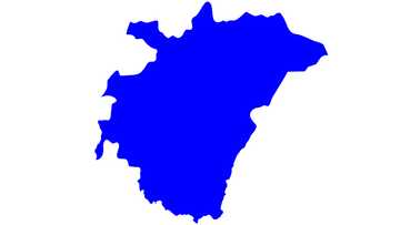
The Northern Region districts and their capitals in Ghana
Until the 1940s, the northern half of Ghana was an enormous region called the Northern Territories. It constituted the Northern Section of Togoland and Krachi District. But after Ghana gained independence in 1952, the Northern Section of Togoland became the Northern Region of Ghana. The political establishments at that time created several districts to make it easy for them to govern. Initially, the Northern Region districts were 14 in total.
Source: UGC
The Northern Region covers a landmass of 70,383 square kilometres, making it the largest territory in the country in terms of land size. As per the 2010 census, the Northern Region districts have a population of 2,479,461.
It has a population density of 35 per square kilometres, which is among the lowest in Ghana. Unlike southern areas of the country, the Northern Region is drier because of its closeness to the Sahara and Sahel deserts.
How many districts are in the Northern Region?
Initially, the Northern Region only had 14 districts. But after carving out of some areas because of population growth, the government increased the number to 16 territories. The Region has eleven ordinary districts, a metropolitan district, and four municipal districts. About 60% of the people in the Northern Region have an affiliation with Islam.
What is the capital of the Northern Region?
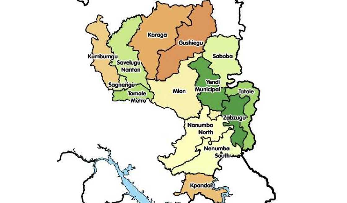
Tamale is the capital of the Northern Region. A look at the northern region map shows that Tamale has an area of 750 square kilometres and lies on 09°24′27″N 00°51′12″W coordinates. It has a population of 950,124 based on 2010 census, with a density of 480.77 per square kilometres.
The Northern Region districts in Ghana and their capitals
Source: UGC
The Northern region of Ghana is renowned for its rich culture and agricultural activities. While it is not as populous as the Ashanti region, it is the largest region in Ghana. Here are the Northern Region districts in Ghana and their capitals.
1. Gushegu – Gushegu
Gushegu District lies in the north-eastern corridor of the Northern Region. Its administrative capital is Gushegu and is about 105 kilometres from the region’s capital, Tamale. Most inhabitants of the area practice agriculture as a way of making a living.
The different types of crops grown by the people include rice, maize, cassava, potatoes, groundnuts, yams, African locust beans, and cashew nuts. Also, many of them are livestock keepers, with cattle being the most domesticated animal.
2. Karaga – Karaga
Karaga District has a landmass of 2,958 square kilometres and lies in the north-eastern part of the Northern Region. Its administrative capital is Karaga, inaugurated in 2004 after carving out from the former Gushegu/Karaga District.
The area experiences a tropical continental climate, with high temperatures throughout the year. People in Karaga practice agriculture despite the rampant soil erosion in the district. However, many of them try to manage the available nutrients in the soil. As a result, the inhabitants grow rice, maize, groundnuts, soya beats, and shea butter.
3. Kpandai – Kpandai
Kpandai District is one of the newest districts in the Northern Region after its inauguration in 2008. On the list of districts in the Northern Region, Kpandai is among the highly populated territories. Its population is 108,816 people. The district’s administrative capital is Kpandai which lies in the tropical continental climatic zone.
The people of Kpandai are predominantly farmers. They use fertile lands to cultivate different crops, including soybeans, groundnuts, cowpeas, yams, and maize. Many also practice livestock keeping, with cattle, sheep, goats and pigs being the most reared animals.
4. Kumbungu – Kumbungu
Source: UGC
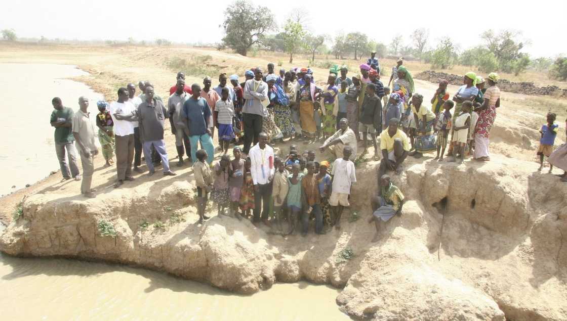
Kumbungu District carved from the former Tolon-Kumbugu District in 2012. Its administrative capital is Kumbungu, which has a population of 39,341 people. Kumbungu is typically an agricultural economy. Agriculture, including fishing and forestry, constitutes the largest industry.
Over 80% of the people depend on agriculture for employment. Non-timber forest products also contribute significantly to the area’s economy. The crops grown by the inhabitants include maize, yams, cassava, groundnuts, rice, soya beans, sorghum, and cowpeas.
5. Mion – Sang
Mion District carved out of the former Yendi Municipal District in 2012 due to the increasing population and to enable development reach all communities. After its inauguration, the political establishment named Sang as the administrative capital, making it one of the newest territories in the Northern Region.
The 2010 census in Ghana shows the area has a population of 81,812. A majority of the inhabitants practice agriculture, mainly commercial farming, subsistence farming, ruminant farming, poultry, and beekeeping.
6. Nanton – Nanton
Nanton Municipal District carved out of the former Savelugu-Nanton District Assembly. It is one of the newest districts in the Northern Region after its creation and inauguration in 2018. Its administrative capital is Nanton, and its Chief Executive is the Nanton DCE. People in the area earn their livelihoods from mining and agriculture.
7. Nanumba North – Bimbilla
Nanumba North District lies in the eastern corridor of the Northern Region of Ghana. It has three predominant ethnic groups which include the Nanumbas, Basares, and Konkonbas. The administrative capital is Bimbilla. Per the 2010 census, the territory has a landmass of 1,986 square kilometres and has a population size of 88,910 people.
Nanumba North lies in the tropical continental climatic zone and experiences high temperatures throughout the year. The average annual rainfall is about 1,268 millimetres, although long dry periods begin in November through March.
8. Nanumba South – Wulensi
Source: UGC
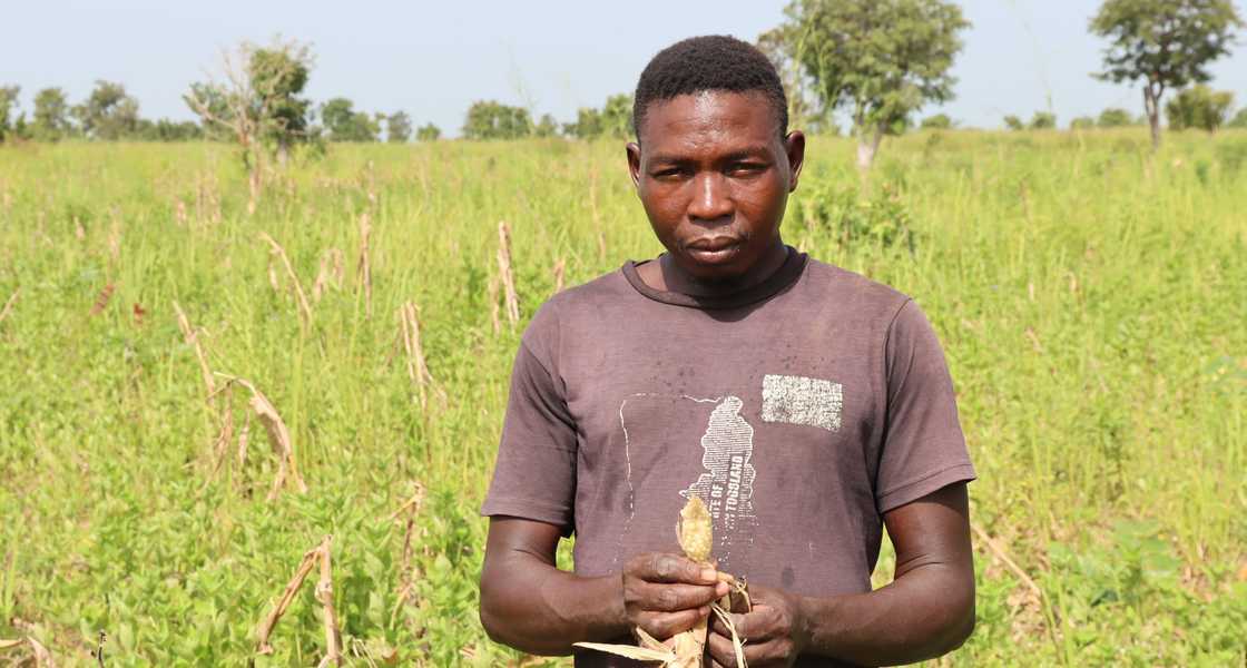
Nanumba South District has a population of 64,577 people, with Wulensi being its administrative capital. The territory has a land area of about 1,300 square kilometres divided into four sub-districts of Wulensi, Pudua, Nakpayili, and Lugni.
People in the area practice farming and trading. Unlike other districts in Ghana, Nanumba South is a scarcely populated region. Populations are between 200 and 1,000 people.
9. Saboba – Saboba
Saboba District carved out of the former East Dagomba District in 1988. Its administrative capital is Saboba located on the north-eastern corner of the Northern Region.
For many years, the Dagomba people in the area have been producing soybeans as an economic activity. But in recent times, they embarked on cashew nut production. As a result, they set up several factors, with Agro-Processing being the primary industry.
10. Sagnerigu – Sagnerigu
Sagnerigu District is one of the most populated districts in the Northern Region. It carved out of Tamale District in 2012 after its creation and inauguration in 2012. As a result, Sagnerigu became the district’s administrative capital.
The territory has a population of 148,099 people based on the 2010 Ghana census and covers a total land size of 200.4 square kilometres. The area harbours the large forest reserves, making it an attractive tourist destination.
11. Savelugu – Savelugu
Savelugu Municipal District carved out of the former Western Dagomba District Council comprised of Tamale, Tolon, and Savelugu. Its administrative capital is Savelugu and has a land area of 1,790.7 square kilometres.
Per the 2000 Ghana census, the territory had a population of 91,415 people. The people practice agriculture and grow different types of crops, including maize, millet, sorghum, and tomatoes. It also has several industries, including food and agro-processing industries.
12. Tamale Metropolitan – Tamale
Source: UGC
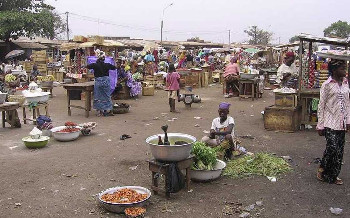
Tamale Metropolitan District became a Metropolis in 2004. Its capital is Tamale located in the central corridor of the Northern Region of Ghana. The territory has a population of 223,252 people, based on the Ghana 2010 population and housing census.
About 80% of the people live urban localities, with the remainder living in the rural area. In Tamale, manufacturing contributes significantly to the economy of the district.
13. Tatale Sangule – Tatale
Tatale Sangule became a district in 2012 after it carved from the former Zabzugu Tatale District. After its inauguration, Tatale became the region’s capital. Tatale is a commercial town with diverse inhabitants.
The district is primarily rural, with about 90% of the population engaged in agriculture. However, they practice subsistence farming and grow maize, groundnuts, cassava, and soya beans.
14. Tolon – Tolon
Tolon District was once known as the Tolon/Kumbugu District. It carved out of the former Western Dagomba District in 1998. In 2012, the region separated from Kumbugu District and became Tolon District. After its inauguration in 2012, Tolon became the territory’s capital. About 94% of the people in the area are Muslims, based on the 2010 Ghana census.
15. Yendi Municipal – Yendi
Yendi Municipal became an assembly in 1988. In 2007, the political establishment elevated it to a Municipality, and Yendi became its administrative capital. The population of Yendi Municipality, according to the 2010 Population and Housing Census, is 117,780. That represents about 4.8% of the Northern Region.
The predominant religion in the territory is Islam, with more than two-thirds of the population professing the Islamic faith. A majority of the people work in the fishery, forestry, and agricultural industries.
16. Zabzugu – Zabzugu
Zabzugu District, formerly known as Zabzugu-Tatale District, carved out of the then East Dagomba District in 1988. Its administrative capital is Zabzugu and has a landmass of 1,100 square kilometres.
The population of the Zabzugu District is 63,815, according to the 2010 Population and Housing Census. That represents about 2.6 per cent of the Northern Region’s population. Many people in the territory work in fishery, forestry, agricultural, sales, and service industries.
The Northern Region districts of Ghana have a population of 2,479,461 and a population density of 35 per square kilometres. The Northern Region has 16 districts, and Tamale is the capital of the area. Since the territory is close to the Sahel and Sahara deserts, it is much drier compared to southern regions of the country. About 60% of the people in the area have an affiliation with Islam.
Yen.com.gh has listed down all the districts in the Savannah Region of Ghana. The country uses a devolved system of government to ensure equal growth opportunities across various regions.
The Savannah Region is located in the north-western part of Ghana and it is made up of seven districts. Find out more about each region including its capital, inhabitants, and economic activities.
Source: YEN.com.gh

